If you came to the Mad River Valley to ski and never came back in summer, you’re missing the better half of the place. The Valley’s trail network runs from flat riverside walks you can do in sneakers to Long Trail summits that will remind you the next morning why you don’t skip leg day. Hyde Away sits in the middle of all of it — 1.9 miles from Mt. Ellen, 3.1 miles from Mad River Glen, and a short drive from some of the best hiking in Vermont.
Our staff hike these trails. The notes below are from people who’ve done them, not from a tourism website.
The Mad River Path — Easy
The easiest place to start is the Mad River Path, a community-built trail network that threads through the Valley floor in Warren, Fayston, and Waitsfield. The West Greenway section — a 1.2-mile out-and-back from the Meadow Road trailhead — follows the Mad River past several swimming holes with views up to Sugarbush’s upper trails and the Monroe Skyline. Flat, quiet, good for leashed dogs, good for kids. The Mill Brook Trail adds more mileage and connects the villages through floodplain forest and a beaver meadow boardwalk.
No summit, no gear required. A good choice for an afternoon leg-stretch before dinner at the inn, or for guests who want to move without committing to a mountain.
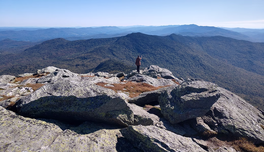
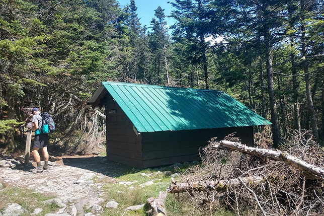
Burnt Rock Mountain — Our Favorite Day Hike
Rising above the heart of the Mad River Valley, two peaks south of Camel’s Hump by way of the Long Trail, Burnt Rock is one of Vermont’s most interesting day hikes — and one that most out-of-state visitors walk right past on the way to bigger names.
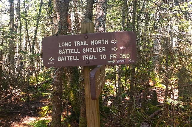
The trailhead is at the end of Big Basin Road in Fayston. It can be hard to find the first time: from Waitsfield, head north on Route 100 to North Fayston Road, turn left, follow it to Big Basin Road — all the way to the end. You follow the Hedgehog Brook Trail along a stream, gently at first, steeper as you get higher. After 2.5 miles it joins the Long Trail. From there, a short spur leads to one of the largest glacial potholes in New England before you reach the summit.
What makes Burnt Rock worth the effort: the trail offers a bit of everything — stream crossings, wooden stair climbs, granite scrambles, and at the top, a view of Sugarbush and Mad River Glen spread out below you to the south. Multiple ledges near the summit mean a dozen parties can be up there at once, each with their own private vista.
Stats: 5.2 miles round trip, about 2,100 feet of elevation gain. Plan for 4–5 hours. Leashed dogs welcome. The granite slabs get slippery in wet weather — save this one for a dry day.
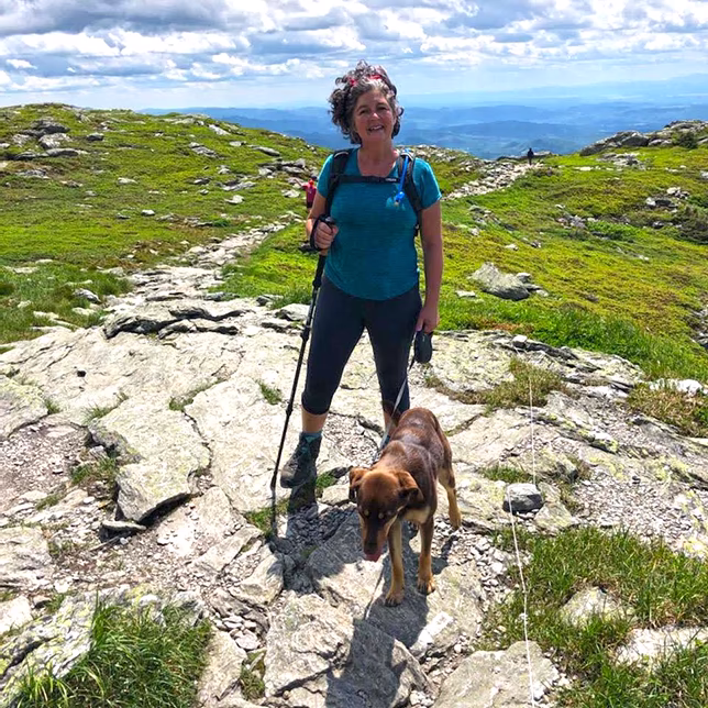
Hiking at Mad River Glen — A Different Kind of Access
Mad River Glen opens its mountain to hikers in summer, which means you can walk terrain that most people only see in ski boots. The Stark Mountain Trail (2.5 miles to the summit) follows the wide work road under the Single Chair, past a waterfall, through Birdland, and up to the Long Trail just before Stark’s Nest shelter.
Park free at the Mad River Glen lot, cross the road to the base area, and pick up the trail at the kiosk by the flagpole. The Kent Thomas Nature Center at the base is worth a look — especially with kids. For a longer day, continue south on the Long Trail toward the Jerusalem Trail junction or push on to Mt. Ellen.
The Gap-to-Gap — For Those Who Want a Full Day
The Long Trail Gap to Gap — the MRV’s full-day option — covers 11.6 miles from Lincoln Gap across Mt. Abraham, Lincoln Peak, Mt. Ellen, and General Stark Mountain, ending at Route 17 and the Appalachian Gap. It’s a traverse of the Green Mountain ridgeline above both ski areas, with the Valley spread out below you the whole way.
This one requires a car shuttle (one vehicle at each trailhead) and a solid fitness base. Our staff have done it. Bring more water than you think you need.
A Few Things Worth Knowing
Mud season runs roughly mid-April through mid-May, and some higher-elevation trails stay wet into June. The Green Mountain Club maintains the Long Trail sections and posts current conditions on their website. Check before you go.
The Mad River Valley Chamber of Commerce trails page has a good interactive map covering all the networks in one place.
Planning a trip? Book your stay at the Hyde Away — we’re a short drive from every trail listed here. Ask at the bar or at breakfast.